From the deep Earth to human habitat – Sierd Cloetingh's inaugural lecture at the Academy on 31 January, 2017
The structure and processes of the deep Earth may sound remote from everyday concerns, but both have strong relevance for humanity’s basic needs, such as the supply of water and resources, protection against natural hazards and control of the environmental degradation of the Earth.
21 December, 2016
Sierd Cloetingh's (Honorary member of the Hungarian Academy of Sciences) inaugural lecture to take place at the Academy on 31 January, 2017
Abstract
Over the past decades, Earth sciences have rapidly changed from largely descriptive to process-oriented disciplines which aim at quantitative models for the reconstruction and forecasting of the complex processes in the solid Earth. This includes predictions, in the sense of forecasting the future behaviour of geologic systems, but also the prediction of geologic patterns which exist now in the subsurface as frozen evidence of the past.
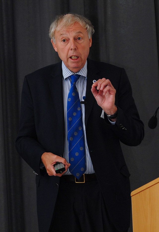 Sierd Cloetingh source: Academia Europaea
Intensive utilisation of the human habitat carries largely unknown risks and makes us increasingly vulnerable. Human use of the outermost part of solid Earth is intensifying at a rapid pace. There is an urgent need for scientifically advanced “geo-prediction systems” that can accurately locate subsurface resources and forecast the timing and magnitude of earthquakes, volcanic eruptions and land subsidence (some of those being man-induced). The design of such systems is a major multidisciplinary scientific challenge. Prediction of solid-Earth processes also provides important constraints for predictions in the oceanographic and atmospheric sciences and climate variability.
Significant progress has been made regarding the quantitative understanding of the Earth over the past few decades. Important ingredients in this process have been the advances made in seismological methods to obtain information on the 3D structure of the mantle and the lithosphere, in the quantitative understanding of the lithospheric-scale processes as well as the recognition of the key role of quantitative sedimentary basin analysis in connecting the temporal and spatial evolution of the system Earth recorded in its sedimentary fill. Similar breakthroughs have been made in the spatial resolution of the structural controls on lithosphere and (de)formation processes and its architecture by 3D seismic imaging. Earth-orientated space research is being increasingly directed towards obtaining a higher resolution in monitoring vertical motions at the Earth’s surface. The modelling of dynamic topography and landform evolution is reaching the phase where a full coupling can be made with studies of sediment supply and erosion in the sedimentary basins for different spatial and temporal scales.
A quantitative understanding of the transfer of mass at the surface by erosion and deposition as well as their feedback with crustal and subcrustal dynamics presents a new frontier in modern Earth sciences. This research bridges current approaches, separately addressing high-resolution time scales for a limited near-surface record and the long-term and large-scale approaches characteristic so far for the lithosphere and basin-wide studies. The essential step towards a 4D approach (in space and time) is a direct response to the need for a full incorporation of geological and geophysical constraints, provided by both the quality of modern seismic imaging as well as the need to incorporate smaller scales in the modelling of solid-Earth processes.
Topography, the landscape’s physical shape, is a product of the interaction between processes taking place deep in the Earth, on its surface and in the atmosphere above it. Topography influences society, not only in terms of the slow process of landscape change, but also through climate. Topographic evolution (changes in land, water and sea levels) can seriously affect human life, as well as plants and animals. When fresh water or sea levels rise, or when land subsides, the risk of flooding increases, directly affecting local ecosystems and human settlements. At the same time, declining water levels and uplift may lead to a higher risk of erosion and even desertification.
These changes are caused both by natural processes and human activities, yet the absolute and relative contributions of each are still little understood. The present state and behaviour of the Shallow Earth System is a consequence of processes on a wide range of time scales. These include:
- long-term tectonic effects on uplift, subsidence and river systems;
- residual effects of ice ages on crustal movement (the weight of ice accumulations depresses the crust, and takes tens of thousands of years to recover following the melting of the ice sheet);
- natural climate and environmental changes over the past millennia right up to the present;
- powerful anthropogenic impacts.
If we are to understand the present state of the Earth System, to predict its future and to engineer our sustainable use of it, this spectrum of processes (operating concurrently but on different time scales) needs to be better understood. The challenge to Earth science is to describe the state of the system, to monitor its changes, to forecast its evolution and, in collaboration with others, to evaluate different models for its sustainable use by human beings. Research will need to focus on the interplay between active tectonics, topographic evolution, and related sea level changes and drainage pattern (river) development. This includes developing an integrated strategy for observation and analysis, emphasising large scale changes in vulnerable parts of the globe.
References
- Cloetingh, J. Negendank (eds.), 2010. New Frontiers in Integrated Solid Earth Sciences, International Year of Planet Earth, DOI 10.1007/978-90-481-2737-5_1, ©Springer Science+Business Media B.V.
- Cloetingh, S. Willet, T. Torsvik, S. Werner (eds.), 2013. TOPO-EUROPE III: Understanding of the coupling between the deep Earth and Continental topography, Tectonophysics 602, 1-381.
- Cloetingh, B. Haq, 2015. Inherited landscapes and sea level change, Science 347, DOI:10.1126/science.1258375.
- Cloetingh, J.-D. van Wees, P. Ziegler, L. Lenkey, F. Beekman, M. Tesauro, A. Förster, B. Norden, M. Kaban, N. Hardebol, D. Bonté, A. Genter, L. Guillou-Frottier, M. Voorde, D. Sokoutis, E. Willingshofer, T. Cornu, G.Worum, 2010. Lithosphere tectonics and thermo-mechanical properties: An integrated modelling approach for Enhanced Geothermal Systems exploration in Europe, Earth-Sci Rev 102,159-206.
Cover picture source: Wikipedia.org